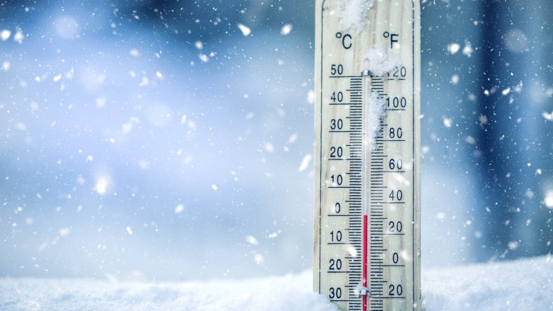
As an arctic cold front races southward through the region, temperatures will fall below zero and wind chills could drop to -40 after midnight as strong north winds develop.
Snow will be possible late tonight into early Thursday, Dec. 22nd. The cold wind chills could cause frostbite on exposed skin in as little as 30 minutes. Use caution while outside. Wear appropriate clothing, a hat, and gloves.
Over the mountains, high winds gusting to over 75 mph will be possible over the higher peaks of the Sangre de Cristo Range, with strong winds and light to moderate snowfall over the La Garita, Sawatch and Mosquito Ranges. The combination of wind and snow will create low visibility and difficult travel conditions over the high mountain passes overnight, especially from Monarch Pass northward.
The Wind Chill Advisory remains in effect through 11 pm Thursday, Dec. 22nd.

- Geraldine “Gerry” Lee Riddle (1948 – 2024) - January 17, 2024
- Kyle Joshua Knickerbocker (1994 – 2024) - January 17, 2024
- Brianna Therese Wancura (1990 – 2023) - January 11, 2024