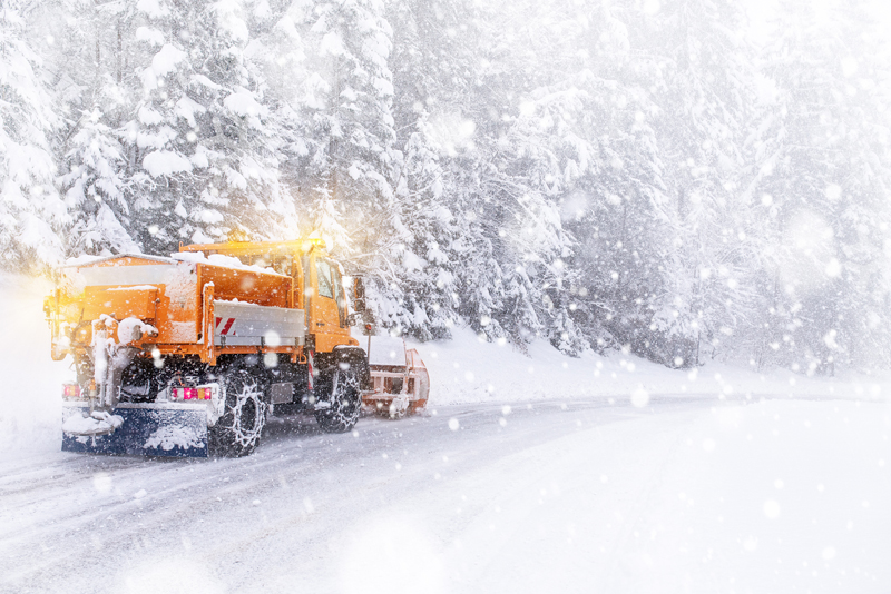
A Pacific storm system is moving into the region overnight bringing much cooler temperatures, moderate to heavy snow in the mountains, and a wintry mix of rain and snow in the lower elevations.
The San Juan Mountains could see 2 to 3 inches of new snow overnight. Snow will spread along the Continental Divide, as well as across the high valleys and eastern mountains after midnight, with significant additional snowfall likely for the southwest mountains. Increasing southwest winds of 25 to 35 mph will produce blowing and drifting snow over mountain passes.
Saturday, the winter storm will become more widespread. Mountain areas will see periods of heavy snowfall, with the highest totals forecast across the San Juan Range and across the Sangre de Cristo Mountains. Snowfall totals of up to 18 inches are forecast across the San Juan Range and up to 12 inches across the Sangre de Cristo Range.
A few snow squalls will also be possible Saturday from near Salida northeast into the Palmer Divide, with localized high snowfall rates, gusty winds and low visibility.
Snow, blowing snow, and slick roads will make travel hazardous over area mountain passes. If you’re planning on travelling this weekend for Christmas, check cotrip.org for the latest road conditions.


