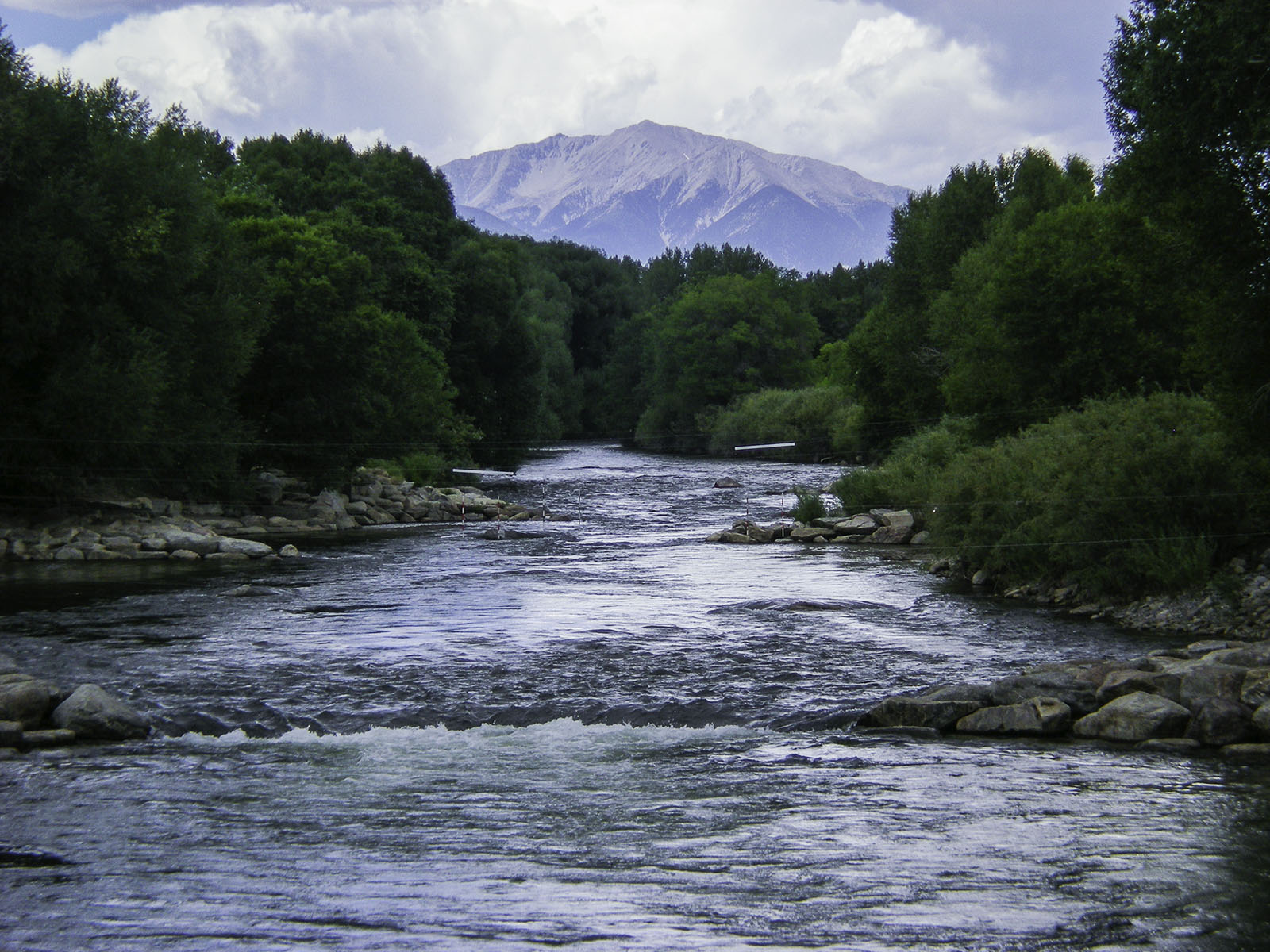
Spring runoff appears to have peaked for 2022 while May precipitation lessened drought severity across Colorado and the Arkansas River Basin, according to the weekly River Report from the Arkansas River Watershed Collaborative.
Nonetheless, the entire Arkansas River Basin continues to experience drought conditions – ranging from Abnormally Dry in parts of Chaffee, Fremont, Teller, El Paso and Pueblo counties – to Exceptional Drought in part of Baca County, according to the latest latest U.S. Drought Monitor report.
Snowpack
The National Resources Conservation Service (NRCS) reports Arkansas Basin snowpack, measured as snow-water equivalent, just above median at 101% as of May 5.
Reservoir Storage
Current reservoir data from the U.S. Bureau of Reclamation show Pueblo Reservoir is 63.4% full as of June 6 with 204,906 acre-feet of water in storage. Twin Lakes Reservoir is 77.9% full at 109,793 acre-feet. Turquoise Lake is currently 63.5% full and stores 82108.8 acre-feet of water, and U.S. Army Corps of Engineers data show 27,042 acre-feet of water currently stored in John Martin Reservoir.
River Flows
Current Arkansas River flows are 164 cfs near Leadville, 1,030 cfs below Granite, 1,380 cfs at Wellsville and 1,500 cfs at Cañon City. Below Pueblo Dam and near Avondale, flows are 1,350 cfs and 1,640 cfs, respectively.
Flows are 584 cfs near Rocky Ford and 623 cfs below John Martin Reservoir. At Lamar, flows are currently 106 cfs. Voluntary Flow Management Program releases from upper basin reservoirs are on track begin in 3-1/2 weeks to support recreational boating.
River Calls
Currently, the Arkansas Basin has 12 active calling water rights. Four calls are on the mainstem – the 1887 Amity and Lamar canals, the 1889 X-Y Irrigating Ditch and the 1949 Arkansas River Compact. The most senior calling right is the Hardscrabble Ditch with an 1860 priority date on Hardscrabble Creek.
The 1866 Gonzales Ditch right continues to call for Apishapa River water. Other tributary calls are the 1866 Hoehne Ditch right on the Purgatoire River, the 1867 Titsworth Ditch right on Fourmile Creek, the 1869 Sefton Ditch No. 1 right on the Huerfano River, the 1873 Denton and McAuliffe Ditch right on Wahatoya Creek, the 1880 Waggoner Ditch right on Stout Creek, and the 1884 Lake Miriam Ditch right on the Cucharas River.

The Arkansas River Report is provided by the Arkansas River Watershed Collaborative. ARWC is the nonprofit organization for the Arkansas Basin Roundtable, a group of water managers and stakeholders working with state agencies to find solutions to water-related issues in the basin. Roundtable members serve as the ARWC Board of Directors.


