


At the February board meeting of the Upper Arkansas Water Conservancy District, Project Manager Gracy Goodwin and engineer Chris Manera reported progress on the Trout Creek Park Alluvial Storage Project.
The Upper Ark District began investigating underground water storage over a decade ago, and studies by the U.S. Geological Survey identified the Pinedale Alluvial Aquifer as one of the best locations in Chaffee County for storing water underground.
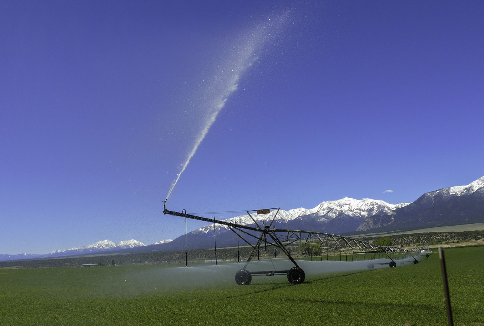
The porous composition of the aquifer – mostly sand, gravel and cobble – “makes this a great place for underground water storage,” Manera said.
The main appeal of storing water underground is that none is lost to evaporation as it is when stored in reservoirs.
Manera reported on preliminary modeling studies done by Hydros Consulting, which focused on four locations for ponds where surface water could be delivered for infiltration into the aquifer.
Goodwin said the four potential locations were selected based primarily on the absence of current land uses – unused corners around center-pivot irrigation systems, for example.
Manera said each 2-acre infiltration pond would require about 3 acres of land, including space to store topsoil for potential site restoration.
Multiple landowners own the ground above the aquifer, and the currently proposed infiltration pond locations are on land owned by the Colorado Department of Corrections and the Cogan family.
Manera reported routes for project piping and designs for infiltration ponds have been provided to the Corrections Dept. “We’ve sent the information to the DOC but haven’t gotten a response yet.”
Goodwin said she submitted designs for the ponds to the Cogans for them to review.
The preliminary modeling work was done “mainly to understand water movement, timing and volume of return flows to the river,” Manera said. Water in the aquifer generally flows south and then flows into the river along a section, not a specific point.
The computer model shows that 50% of water stored in the aquifer would flow into the river in one to one-and-a-half years, he added.
BlueTriton Brands (previously Nestlé Waters North America) monitors local aquifers as part of its Arrowhead bottled spring water operations, and Manera said the company’s monitoring wells “provide a lot of information for such a small area.”
“Models are only as good as their data,” Manera said, “and we have solid data, so the model is solid. It’s above and beyond generally accepted practices. … Models aren’t new to recharge projects. Recharge models are well accepted.”
In this instance, “generally accepted practices” refers to the engineering and hydrology calculations required for Water Court cases.
Before implementing any underground storage project, the District will need to file for a storage right in Water Court, so the modeling and engineering calculations will become a critical component for obtaining that right in Water Court.
Virtually all groundwater flow models, including the Trout Creek Park model, incorporate MODFLOW, the standard U.S. Geological Survey computer code used to simulate the flow of groundwater through different types of aquifers.
“No one will attack MODFLOW,” Attorney Kendall Burgemeister said. “It’s well-established. It’s been used in hundreds of Water Court cases. Only inputs – bad data – will be attacked.”
Another requirement for a water storage right is ownership of the water to be stored. For the Trout Creek Park Project, the water would come from fully consumable water owned by the Upper Ark District.
Manera said the next phase of the project will “make the model more robust for determining optimal operations. … The District already has water accounting procedures in place with debits; this would add a column for credits that could be used for augmentation or exchanges and give the District more flexibility.”
In other words, as water stored in the aquifer flows into the Arkansas River, the district would have the option of leaving the water in the river to replace out-of-priority water use (often referred to as augmentation) or exchanging the water back upstream for continued storage (when conditions allow).