Category: Weather
News
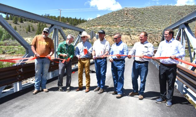
Chaffee County Commissioners cut the ribbon Tuesday to officially open the new Granite bridge on CR 397
Chaffee County Commissioners cut the ribbon Tuesday to officially open the new Granite bridge on...
Read More


Chaffee County Commissioners cut the ribbon Tuesday to officially open the new Granite bridge on...
Read More