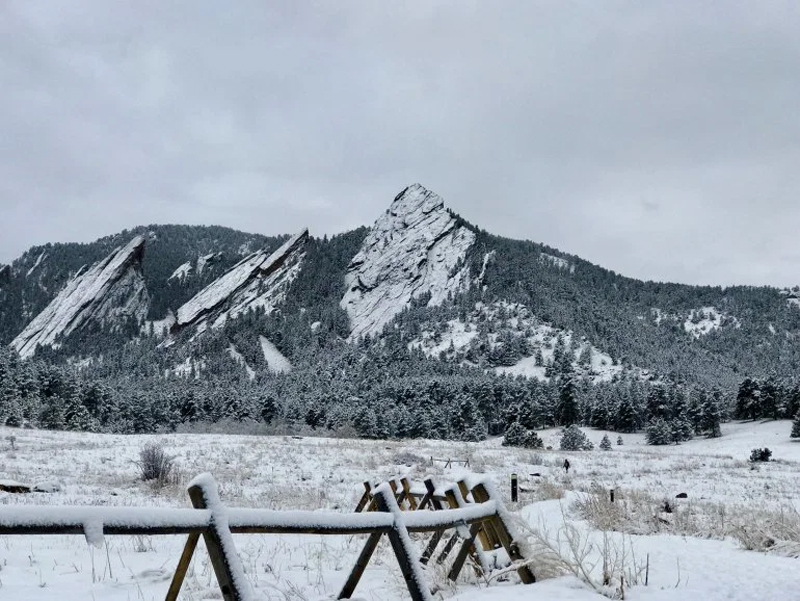
January has been rather uneventful in the snow department across Colorado.
The mountains have been missing out on much-needed snowfall, during what is typically an active month for the high country.
Aside from the Sangre de Cristo Mountains cashing in on a beneficial storm track, the rest of the state has been far below normal.
This has driven the statewide snowpack to its slowest start since 2018.
Much of central and western Colorado has seen less than 25 percent of the typical month-to-date precipitation. The snowpack has largely flatlined.
Statewide snowpack currently sits around 73 percent of average. That average is inflated by the Upper Rio Grande river basin. This area roughly bound by an Alamosa-Salida-Silverton triangle is running close to normal. The rest of the state is less than 70 percent of normal.
Aside from delighting the Colorado ski resorts, a deep mountain snowpack is very important for the summer water supply.
Signs are pointing toward a more active weather pattern to close out the month. Several snow events could take aim at the state over the next 10 days.


