
If you’ve noticed low-flying helicopters in the area recently, it’s part of a state-led effort to image the geology beneath the surface. These helicopter flights are scheduled to continue for up to three months, covering Chaffee, Lake, and Park counties.
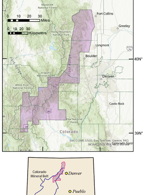
The purpose of these low-level flights is to gather detailed images that will expand the understanding of geology in historic mining districts within the Colorado Mineral Belt. The data collected will be used to create high-resolution three-dimensional representations of bedrock composition and structure, reaching depths of over 3,200 feet below the surface. This new information will be invaluable in mapping the geological features of these areas.